FILED UNDER: CARTOGRAPHIC DIVISION
MASTER SURVEY
REF: CART-008 · FORT KAEL CARTOGRAPHIC DIVISION · YEAR 810
Northern Territories — Master Route Survey
This map represents the complete documented route network of the northern territories as surveyed in Year 810. It shows major trade routes, secondary roads, winter routes, military passages and shepherd paths. The routes are colour-coded by classification. Dangerous routes are marked. The legend is included.
The map does not show everything. Several routes known to the community from oral tradition do not appear. When the cartographic team asked about the discrepancy, community members said only that those routes were not for the map. They did not explain further. The cartographic team noted this and moved on.
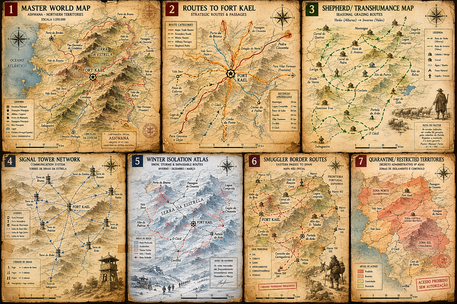
ASHWANA CARTOGRAPHIC SYSTEM 008 — MASTER WORLD MAP · ASHWANA NORTHERN TERRITORIES · ESCALA 1:250.000 · CARTOGRAFIA OFICIAL
Cartographic note, Year 810: Fort Kael is marked at the centre of this map. Every documented route leads to it or from it. The map gives the impression that Fort Kael is the origin point of the region's organisation. This impression is not entirely accurate. Several of the routes predate Fort Kael by centuries. The institution built on a network that already existed. This is not noted in the official record.
The institution built on a network that already existed. Fort Kael is not the origin. It is just the centre of what was mapped.
READ ASHWANA — BOOK ONE →