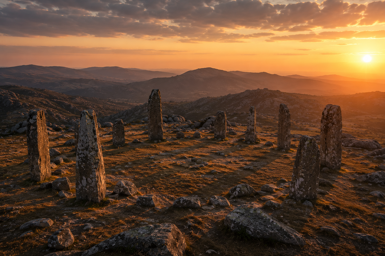
The Stone Circle Of The High Plateau
FILED UNDER: CARTOGRAPHIC DIVISION
ACTIVE MONITORING
REF: CART-005 · FORT KAEL CARTOGRAPHIC DIVISION · YEAR 812

Ashwaste Boundary — Current Extent and Anomalies

This map documents the current extent of the Ashwaste boundary as of Year 812. It should be noted that the boundary is not static. Every edition of this map produced since Year 790 has shown a boundary that has moved since the previous edition. The movement is documented. The cause is not.

The map shows the quarantine territories — zones designated as restricted entry pending investigation. It shows the high risk zones — areas of active boundary movement. It shows the old Ashline ruins — structural remnants of an earlier system whose function the institution does not fully understand. And it shows the bandit territory, which the institution acknowledges exists and does not discuss further.
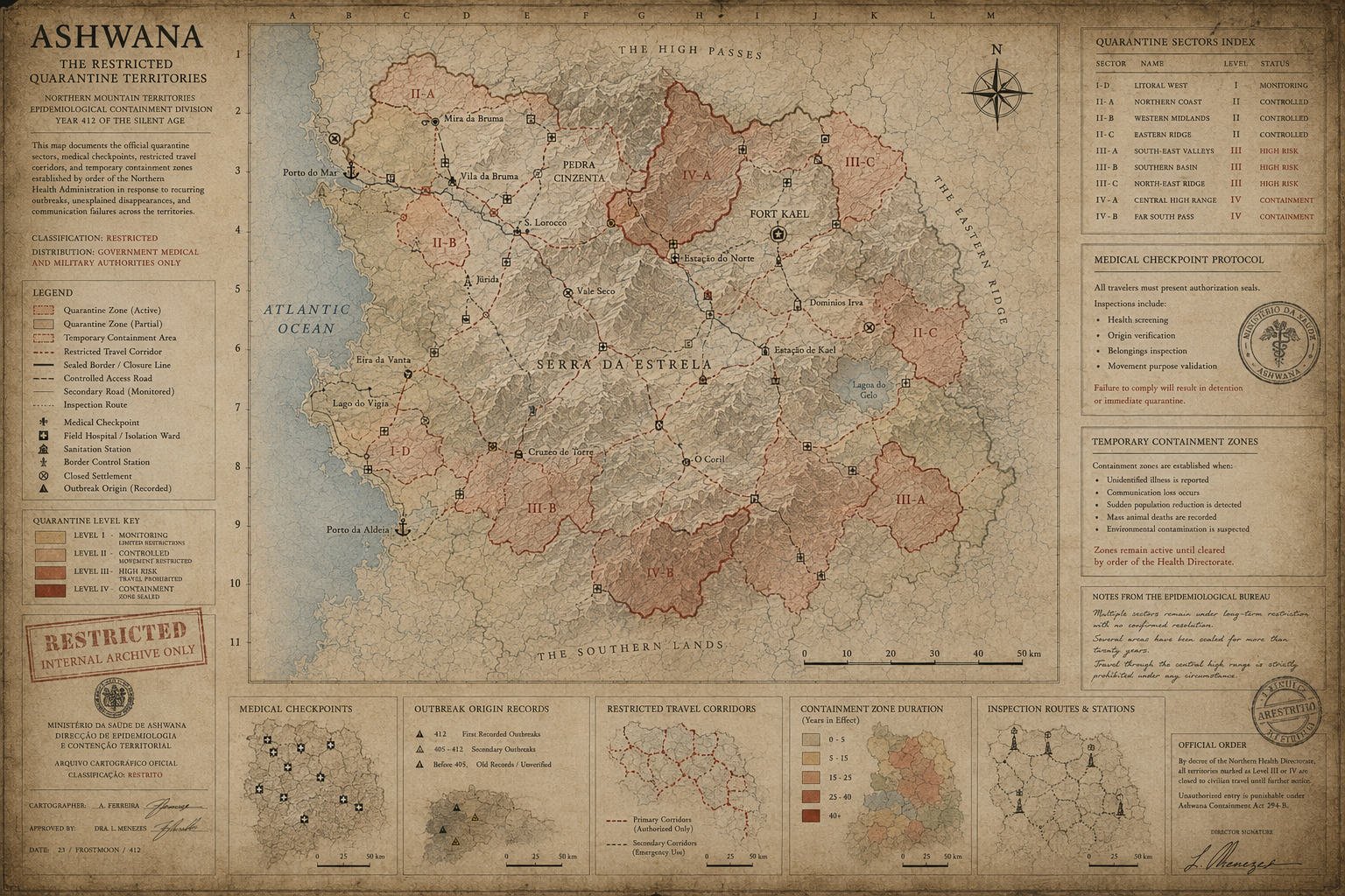
Ashwaste Boundary Map
ASHWANA CARTOGRAPHIC SYSTEM 005 — THE RESTRICTED QUARANTINE TERRITORIES · DECRETO ADMINISTRATIVO Nº 43/61 · ZONAS DE ISOLAMENTO E CONTROLO
Cartographic note, Year 812: This edition of the boundary map was produced following the northeastern shift documented in survey reference 804-144. The boundary at reference point N-7 has moved fourteen spans northeast since the previous edition. The map has been updated accordingly. The previous edition is filed under reference ████████. The institution requests that personnel do not compare the two editions directly, as the cumulative movement across all documented shifts is significant and the institution does not currently have an explanation it considers satisfactory.
CARTOGRAPHIC DIVISION — FORT KAELYEAR 812 · ACTIVE MONITORING

The boundary moves. No one knows why. The institution requests that personnel do not compare the editions.

READ ASHWANA — BOOK ONE →
← RETURN TO CARTOGRAPHY