What is Torre peak Portugal?
Torre is the highest point in mainland Portugal at 1,993 metres above sea level. It sits at the summit of Serra da Estrela — the Star Mountain Range — in the north-central interior of the country. The name means tower, a reference to a stone tower built in the nineteenth century by order of King Dom João VI, who wished to raise the mountain to a symbolic 2,000 metres. The tower added seven metres. The summit is still seven metres short.
The road to Torre is paved and accessible by car, making it simultaneously the highest and the most accessible peak in the range. A restaurant and small commercial centre operate at the base of the tower year-round. In winter, the snow transforms the summit plateau into a landscape that feels genuinely remote despite the infrastructure — the wind, the cold, and the horizontal light of low altitude sun on white granite produce conditions that no amount of paved road fully domesticates.
On clear days, the view from Torre extends over 160 kilometres to the Atlantic coast. The Mondego, Zêzere, and Alva rivers all begin their journeys here — three rivers whose sources lie within walking distance of the summit cairn. The Torre peak Portugal weather changes faster than any lowland instinct prepares a visitor for. Cloud can move in from the west and reduce visibility to metres within minutes of a clear horizon.
The summit that organises everything below it.
The Torre peak sits on a granite plateau formed during the last glacial maximum approximately 30,000 years ago. The ice field that covered this plateau carved the U-shaped valleys radiating outward from the summit — the Zêzere valley to the northeast, the Alva valley to the south, the Mondego basin to the northwest. The glacial features are still clearly visible from the summit: the cirques, the lateral moraines, the erratic boulders deposited when the ice retreated.
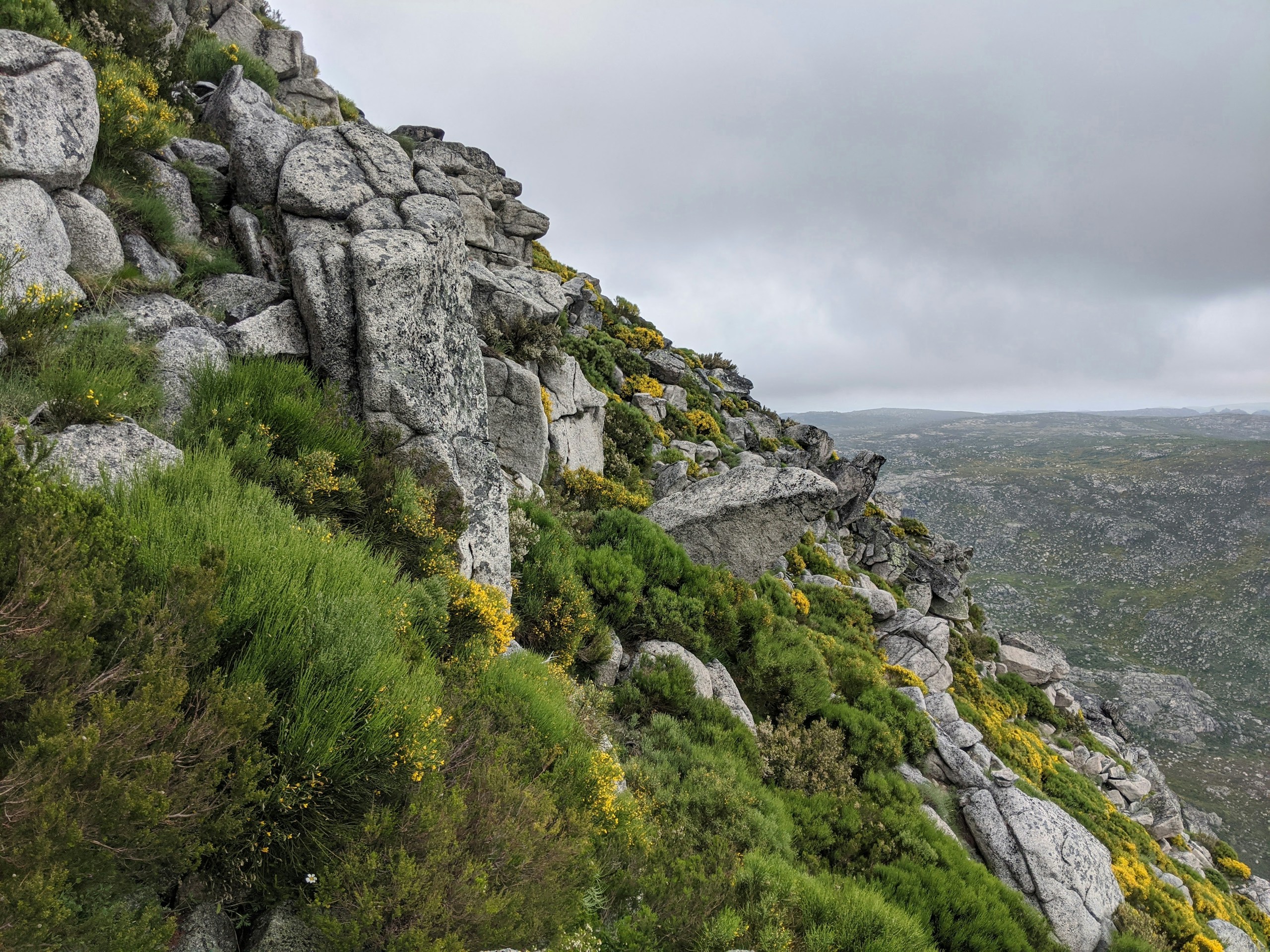
The plateau around Torre is the most exposed terrain in Portugal. It receives the highest rainfall, the heaviest snowfall, and the strongest winds of any location in the country. The vegetation at this altitude is heath and low scrub — no trees survive above approximately 1,600 metres on the exposed western slopes. The granite is bare and wind-polished, pale grey under overcast skies, almost white in direct sunlight, dark charcoal when wet.
The highest mountain in Portugal has been a navigation landmark for travellers crossing the Iberian interior for thousands of years. From the surrounding lowlands, the Torre peak is visible at distances that made it the dominant orientation point for anyone moving through central Portugal before the age of maps. You knew where you were by where Torre stood in relation to you.
The summit the Survey Division does not fully map.
In the world of ASHWANA, the high plateau above Fort Kael corresponds to the Torre summit and the terrain surrounding it. The Survey Division maintains detailed maps of every route below the treeline and across the mid-altitude pasture zones. The summit plateau appears in the cartographic record as surveyed territory — coordinates noted, altitude recorded, seasonal access classified.
What the Survey Division maps do not record is what happens at the summit in certain weather conditions. The anomaly logs — maintained separately from the official survey records — contain a small number of entries referencing the plateau above 1,800 metres. The entries are brief. They note discrepancies between the recorded survey data and field observations made during subsequent visits. They do not explain the discrepancies. They flag them for investigation and record that no investigation was conducted.
The Torre peak, in the world as in reality, is the point from which everything else is measured. The Survey Division uses it as the fixed reference point for all territorial calculations. It is the one location in the mountain territory that the Territorial Authority classifies as unambiguously within Fort Kael's jurisdiction. What occurs at that elevation, above the routes and outside the regular survey schedule, belongs to a different classification — one the Archive has not publicly acknowledged.
Five hundred years of silence. The Survey Division keeps mapping. The anomaly logs keep filling.