The highest point in mainland Portugal. On a clear day, the sea is visible 160 kilometres away.
Torre is the summit of Serra da Estrela and the highest point in mainland Portugal at 1,993 metres. The name means tower — a reference to a stone tower built in the nineteenth century to raise the mountain to 2,000 metres, a symbolic gesture that the natural geology had failed to achieve by seven metres. The tower is still there. The road to it is paved and accessible by car, which makes Torre simultaneously the highest and the most accessible point in the range.
What Torre gives you that no other viewpoint in the range can: altitude and panorama combined. On a clear day, the view extends in every direction across the surrounding lowlands. The Atlantic coast, over 160 kilometres to the west, is visible from Torre on days of exceptional clarity. The Mondego, the Zêzere, and the Alva rivers begin their journeys here — three rivers whose sources you are standing above when you stand at Torre.
What Torre takes away: solitude. The road brings everyone. On summer weekends and winter snow days, the summit car park fills. The restaurant and small shopping centre at the base of the tower operate year-round. Torre is spectacular and it is rarely quiet. Plan for early morning or late afternoon if you want the view without the crowd.
An abandoned red chalet. The best view of the Zêzere glacial valley. Almost nobody here.
The Fragão do Corvo viewpoint sits at approximately 1,450 metres near Penhas Douradas, in the municipality of Manteigas. It is reached by a road that most visitors to Serra da Estrela do not take, past an abandoned red chalet whose photographic quality is matched by its inaccessibility to casual tourists. From the viewpoint behind the chalet, the glacial valley of the Zêzere opens below — the full length of the valley visible, with the town of Manteigas at its base and the plateau above.
This is the view that makes the geology legible. The U-shape carved by the glacier is unmistakable from this elevation. The valley floor, the lateral moraines, the steepness of the walls — from Fragão do Corvo, the ice age is visible. Not described, not interpreted, visible. The view is better than Torre for understanding what happened here thirty thousand years ago.
A granite spire rising from the plateau. The most iconic rock formation in the range.
Cântaro Magro — the Skinny Pitcher — is a granite spire that rises from the high plateau of Serra da Estrela, its name describing the elongated, narrow silhouette that millions of years of glacial erosion and weathering have produced. It is one of the most photographed geological formations in Portugal and the subject of serious climbing routes on its eastern face, considered the most difficult climbing in Serra da Estrela.
The viewpoint at Cântaro Magro is reached by trail from the road towards Torre. Even without the technical climbing, the approach to the base of the spire offers some of the most dramatic granite landscape in the range — the exposed plateau, the scale of the formation, the quality of light on granite at altitude in late afternoon.
Six metres of granite rising from the plateau. Crystal lagoons. Waterfalls. Almost impossible to photograph badly.
The Cornos do Diabo — Devil's Horns — are twin granite formations rising six metres from the high plateau near Seia, their sharp profiles earning the name. Around the base of the formations, small clear lagoons and seasonal waterfalls create a landscape that rewards the walk from the nearest road. The trail passes a water channel and the Caniça stream and offers consistent views across the plateau.
The light at the Devil's Horns in late afternoon, when the low sun catches the granite at an angle that does not occur at midday, is different from any other location in the range. Early morning fog sometimes fills the valley below while the formations stand clear above it.
The largest reservoir in the range. The viewpoint that most visitors drive past without stopping.
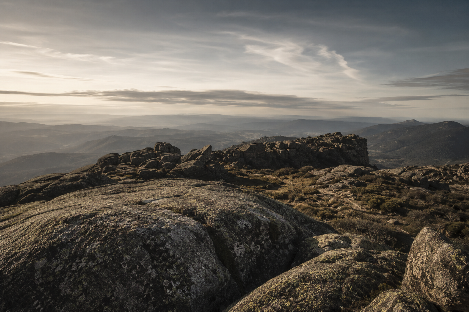
Lagoa Comprida is the largest reservoir in Serra da Estrela, situated at 1,600 metres on the high plateau. The miradouro above the lake offers a view of the water against the granite plateau that is unlike any other landscape in Portugal — the combination of altitude, open water, and the specific quality of light that the plateau produces in morning and evening is not available anywhere lower.
Most visitors to Serra da Estrela drive past the Lagoa Comprida viewpoint on the way to Torre without stopping. This is the argument for stopping. The view from the miradouro takes two minutes. The lake and plateau at dawn, when the mist sits on the water and the granite is still in shadow, takes as long as you want to give it.
The Survey Division maps these locations. The maps do not explain what you see from them.
The cartographic archive of Fort Kael contains survey maps of every significant elevation point in the mountain territory. The viewpoints are marked as observation posts — classification OB, with a grading for visibility range and a seasonal access note. The maps are precise. They record the coordinates. They record the altitude. They record the estimated visibility in clear conditions.
What the maps do not record is what the Survey Division cartographers saw when they stood at these points. The records are institutional. The experience is not. The Fragão do Corvo map shows a contour line and an observation post designation. It does not record the abandoned red chalet, or the quality of light on the Zêzere valley at four in the afternoon, or the specific silence of the plateau above Manteigas when the wind drops.
The Archive has everything the Survey Division chose to write down. What they chose not to write down is the reason people go back.
ASHWANA — Book One of The Fractured Elden — is available now on Amazon, Apple Books, Kobo, and Google Play. The archive is not yet closed.