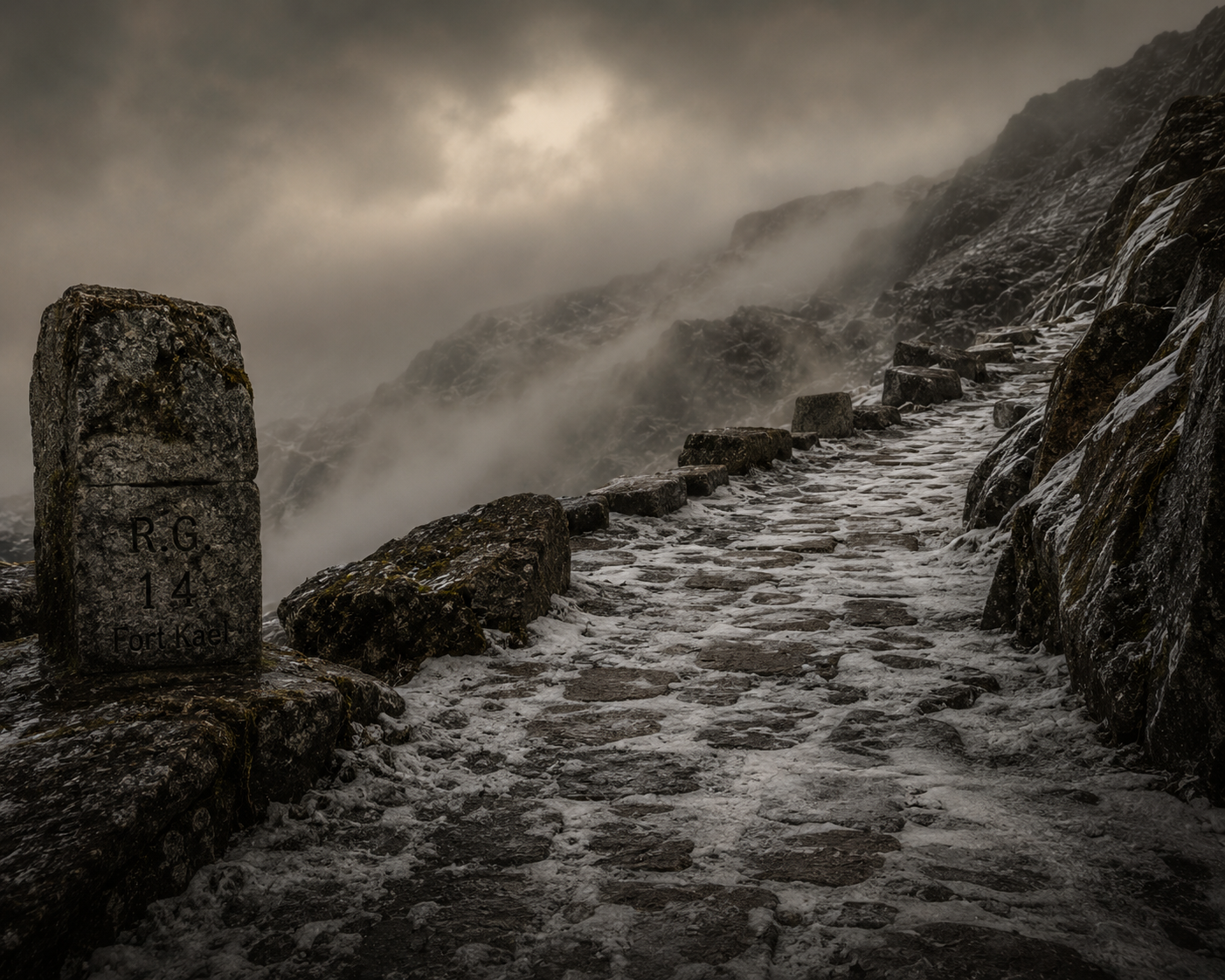
Rota da Geada. Frost Road Survey
The Rota da Geada. the Frost Road. follows the high ridge northeast of the valley settlements before descending through the granite passes toward the outer margin of the surveyed territory. The route has been in continuous use by shepherd communities for longer than institutional records extend. The Route Authority at Fort Kael formally documented it in Year 744. The shepherds had been walking it for considerably longer.
The route is designated seasonal. Shepherd parties ascend from the valley communities after the feast of the summer solstice and remain in the high pastures until the first hard frost signals the invernada. the winter descent. Outside this window, the Frost Road is classified impassable without specialist authorisation. The granite plateau above waypoint G-4 receives ice formation within days of the first October frost, and the northern descent becomes dangerous without knowledge of the surface conditions.
| ROUTE STATUS | Seasonal. Restricted late October through late April |
| LAST INSPECTION | Day 44 of Year 811. Survey Officer Brenne |
| SHEPHERD USE | Documented. Transhumance parties ascend after the summer solstice. Descent begins at first frost, typically late October. |
| KNOWN HAZARDS | Ice formation at waypoints G-3 through G-5. Unstable granite surface at the northern descent. Hill fog reported at all times of year. |
| SHELTER STRUCTURES | Three abrigos documented. dry-stone shepherd shelters. at waypoints G-2, G-4, and G-6. Condition: serviceable. Maintained by shepherd communities, not by the institution. |
| INSTITUTIONAL USE | Restricted. Permit required. Maximum party size: ████████. |
The route intersects with older shepherd tracks at waypoint G-2. These older paths do not appear on any institutional map. They predate the current settlement pattern and their origin has not been formally investigated. Local oral tradition holds that they follow lines in the ground that the shepherds themselves do not fully understand. that the sheep, given freedom to choose their path, will follow them without being directed.
Three incidents have been recorded on this route in the last five years. Two involved weather delays with no casualties. The third. filed under reference ████████. has been sealed at the request of the Commandant's office.
The shepherd I spoke with at the high pasture. an older man who gave no name. said only that the markers were wrong before, and that now they are right. He did not explain what he meant by this. When I pressed him he pointed at the granite and said that the rock remembers the direction even when the marker does not.
I am filing this as an observation. I do not know what category of observation it belongs to.
Permit applications for the Rota da Geada must be submitted to the Route Authority at Fort Kael no fewer than fourteen days before the intended crossing date. The application must state the purpose of the crossing, the number of persons in the party, and the intended return date. Parties that do not return by the stated date are logged as overdue after forty-eight hours. The protocol for overdue parties on this route is classified under reference ████████.
The routes of Ashwana are documented. The world beneath them is not.
READ ASHWANA. BOOK ONE →