Three main routes. Six branches. Over 400 kilometres total.
Serra da Estrela has the most extensive network of marked hiking trails of any national park in Portugal. The official trail system consists of three main routes — T1, T2, and T3 — with six additional branches: T11, T12, T13, T14, T31, and T32. Together these account for 357 kilometres of marked trail. Unmarked paths extend the navigable terrain considerably further.
T1 is the longest route, following the entire length of the park — approximately 145 kilometres from one end to the other. It is the most accessible in terms of terrain type, following tracks and paths that can be walked without technical equipment in all but the most severe winter conditions. It is not, however, a casual walk. The full T1 requires multiple days and careful planning around water sources and accommodation.
T2 crosses the high plateau and is the most demanding of the three main routes. It passes through the Zêzere glacial valley — the longest glacial valley in the Iberian Peninsula — and reaches altitude sections above 1,700 metres where weather can change rapidly and the terrain becomes genuinely challenging. Experienced hikers only above the 1,500-metre line in winter.
T3 covers the southern flank of the range, lower in altitude and more forested than the plateau routes. It connects several of the traditional villages and is the most suitable for walkers who want landscape and history rather than altitude and challenge.
Covão dos Conchos. Mondego Walkways. Poço do Inferno. The three everyone does first.
The Covão dos Conchos Trail is the most popular single trail in Serra da Estrela — a moderate 8.9-kilometre loop taking approximately 2.5 hours that leads to the iconic circular spillway of the Covão dos Conchos dam. The spillway is one of the most photographed locations in Portugal: a perfectly circular opening in the surface of the lake, built in 1955 to drain excess water through a tunnel bored through the mountain. The trail is graded moderate and is suitable for most fitness levels.
The Mondego Walkways Trail follows boardwalks and natural paths along the Mondego river — which begins its 200-kilometre journey to the sea here, on the high plateau. The trail is 11.9 kilometres, moderate, and offers consistent views of the headwater landscape that is accessible nowhere else in Portugal. The Mondego is the longest river with its source entirely within the country. Walking its first kilometres has a different quality from walking any other river in Portugal.
The Poço do Inferno trail near Manteigas is the easiest of the three — a short loop of under 3 kilometres leading to a waterfall that runs at its most dramatic in spring, fed by snowmelt from the plateau above. The name means Hell's Well. The waterfall does not justify the name in summer. In March, after a heavy winter, it does.
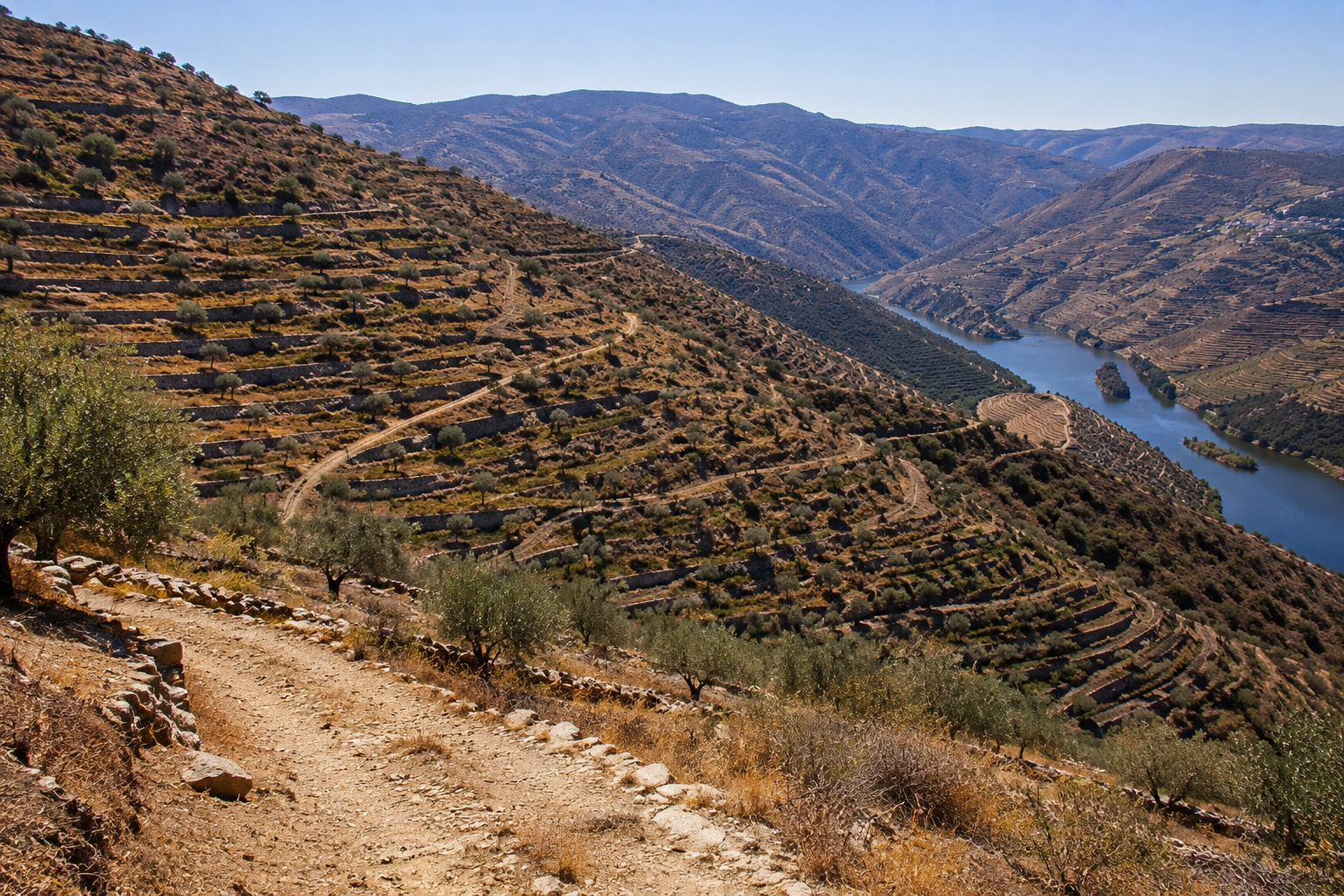
Weather changes fast above 1,500 metres. The plateau does not forgive improvisation.
The best hiking season in Serra da Estrela is May to October. In late April you can already do some hiking if properly prepared — the weather is still cold and damp but the slopes are covered with wildflowers at the beginning of spring. Winter hiking above the plateau is for experienced mountain walkers only. The cold is structural, not seasonal — it does not relent because you are prepared for it.
Water sources on the high plateau are reliable in spring and early summer when snowmelt keeps the streams running. By late August on the plateau, some smaller sources dry. Carry water for any route above 1,400 metres in July and August. The major trails pass through villages where resupply is possible. The high plateau routes do not.
Navigation on the plateau in fog requires compass and map. The granite formations all look similar in low visibility. The marked trails are well maintained but in thick mist the posts can be difficult to locate. Do not rely on GPS alone. The plateau is large and the descent options are limited to a handful of defined routes.
In the world of ASHWANA, routes are classified by season, altitude, and what the Survey Division calls terrain stability.
The Survey Division of Fort Kael maintains a route classification system that grades every path in the mountain territory by four criteria: season of passage, altitude exposure, water source availability, and what the classification guidelines call terrain stability — a designation that covers everything from rockfall risk to the specific behaviour of the high plateau in fog. The routes that cross the Ashwaste carry a fifth classification that the other routes do not: anomalous conditions. The guidelines do not define what this means. The designation has been in use since the first route survey on record.
The real paths of Serra da Estrela — the shepherd routes that predate the current trail system, the old transhumance corridors, the unmarked paths that experienced local walkers know but that appear on no official map — are the foundation of the route network in the world of ASHWANA. The Survey Division maps what it can. The unmapped paths are not on the record. They are still walked.
ASHWANA — Book One of The Fractured Elden — is available now on Amazon, Apple Books, Kobo, and Google Play. The archive is not yet closed.