The water decides when it can be seen.
In the Cáceres province of Spain, not far from the Portuguese border, there is a ring of standing stones at the bottom of a reservoir. It is called the Dolmen of Guadalperal, though most people who have heard of it know it by a simpler name — the Spanish Stonehenge. It was built somewhere between five and seven thousand years ago. No one knows exactly what it was for. A tomb, possibly. A meeting place. A site for something that left no further record of itself.
In 1963, a dam was built and the valley was flooded. The stones went under. They were seen again in 1926, briefly, before the flooding — and then not properly again until 2019, when a severe drought dropped the reservoir low enough to expose them. They went under again. They surfaced once more later, and disappeared again. By most counts, the full circle has been visible only a handful of times in the last hundred years.
The same droughts that exposed the dolmen also brought back a village called Aceredo, flooded in 1992 on the Spain-Portugal border. Streets, doorframes, a fountain — all there, all intact, for as long as the water stayed low. Then the rain came back, and it went under again.
Nothing was done to cause this. No one opened a gate or pulled a plug. The water simply dropped low enough, for a while, and then it did not.
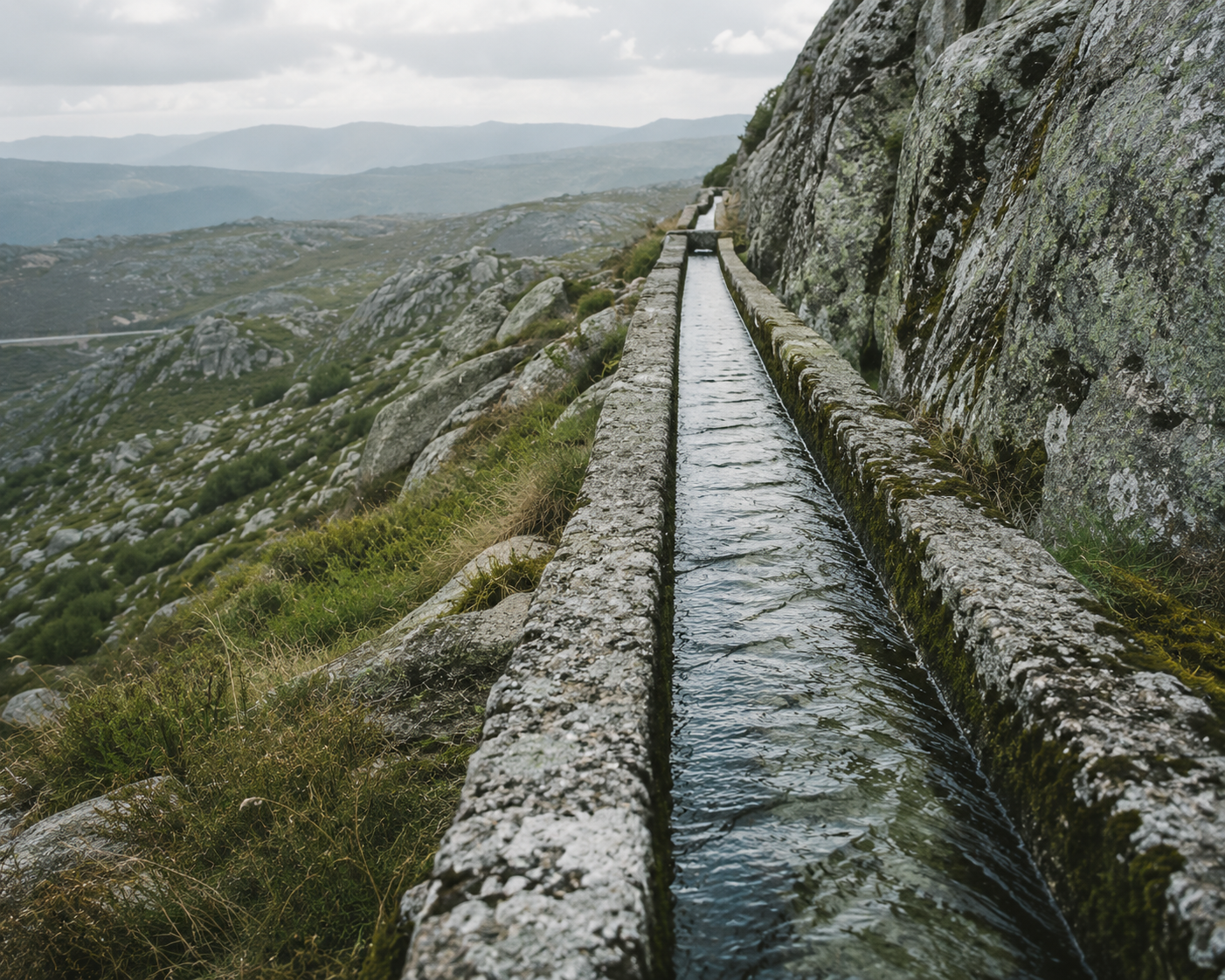
Some things are not hidden. They are only covered.
ASHWANA treats the Ashlines the same way the reservoir treats the dolmen — not as something buried and gone, but as something present and covered, which surfaces on terms no one controls. The difference between "destroyed" and "currently underwater" matters. One is final. The other is a schedule no one has been given.
Fort Kael's records list several boundary markers as "submerged, condition unconfirmed" — a phrasing used nowhere else in the archive. The markers are not described as lost or destroyed. The wording implies they are still there, simply not currently accessible, with no date given for when that might change.
One survey note, attached to no specific marker, reads only: "visible again this season. recorded. see previous note." No previous note matching that description has been found.