A valley almost lost to a dam, because of what was carved into it.
In the valley of the river Côa, in northern Portugal, the rock faces along the banks carry images cut into the stone — horses, aurochs, deer, the occasional human or geometric figure. Some of the carvings have been dated to between twenty-two thousand and ten thousand years before the present. Over a thousand engraved rocks have been recorded along seventeen kilometres of the valley.
In the 1980s, a dam was already under construction here. The engravings were found during the surveys for it — first a few, then more, then enough that archaeologists from outside Portugal were brought in to assess what was about to be flooded. The dispute that followed lasted years. Schoolchildren in the nearby town carried signs with a simple line: the engravings don't know how to swim. In 1995, the dam was cancelled.
What survived is now a protected park. But the carvings themselves remain mostly unexplained. No one knows, in any detail that can be verified, why these animals were chosen, why these particular rock faces, or what purpose the images served for the people who made them. Researchers have also identified large standing stones near some of the engraved shelters — stones that appear to have been deliberately placed, not naturally fallen. The working theory is that they marked the location. Marked it for whom, and for how long, is not something the stones can say.
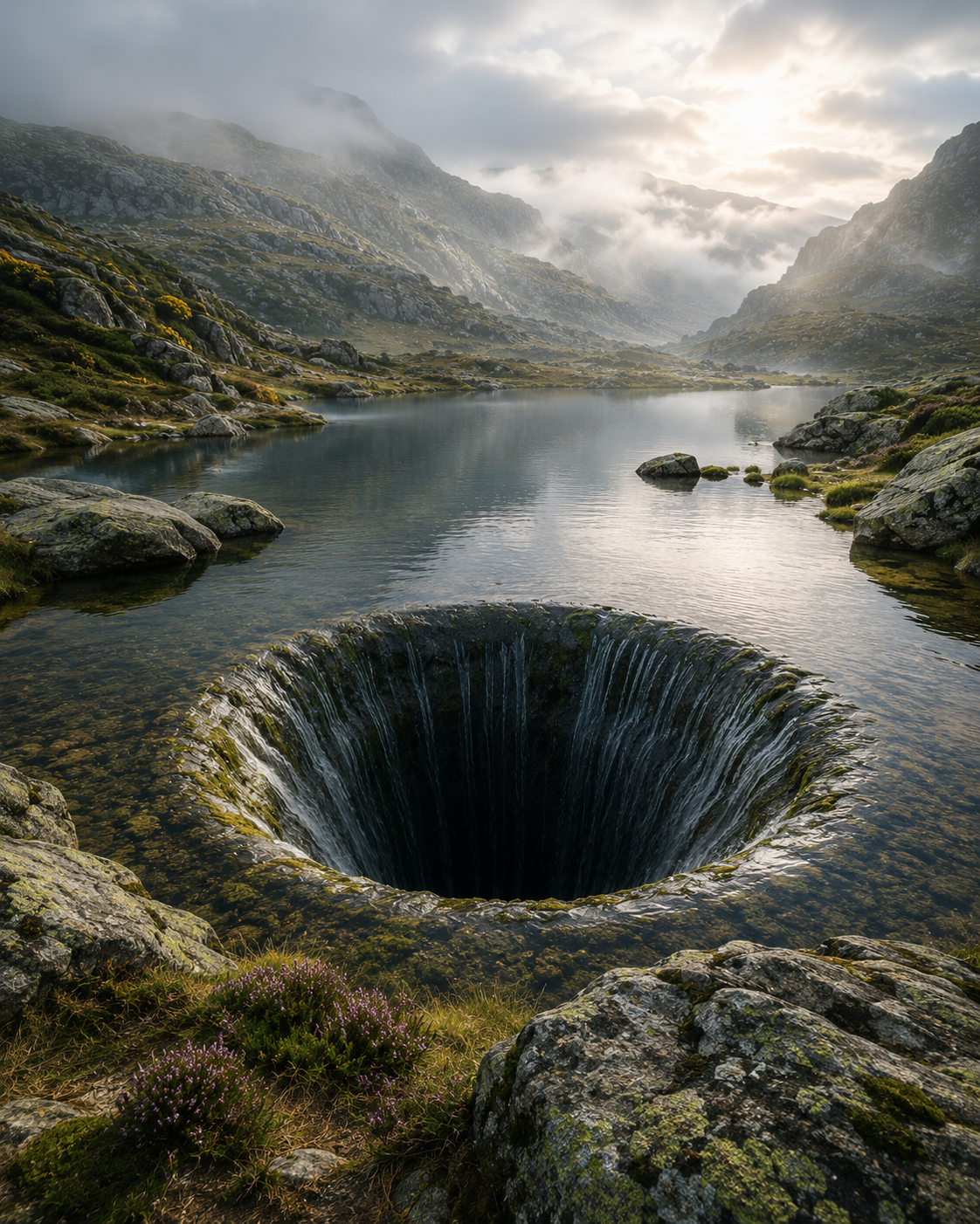
The marker survived. The reason for the marker did not.
ASHWANA treats old markings the way the Côa valley treats its engravings — as proof that someone, a very long time ago, thought a place mattered enough to leave something behind. The image survives. The intention behind it does not travel with it. Anyone looking at it later is left to guess, and the guess is never confirmed.
Several stones along the eastern ridge at Fort Kael carry marks that predate every written record held in the archive — cut into the rock itself, not painted, not added later. The current administration has catalogued them as "boundary indicators, origin unconfirmed." No boundary they could plausibly indicate has ever matched the marks' positions.
One survey, filed decades ago, suggested the marks might not indicate a boundary at all, but a route — a way of marking a path for someone returning, rather than a line for someone to stop at. The suggestion was not followed up. The marks are still there. The route, if there was one, has not been identified.